Exploring Digital Equity: A Geospatial Analysis of the Digital Divide
Project Overview
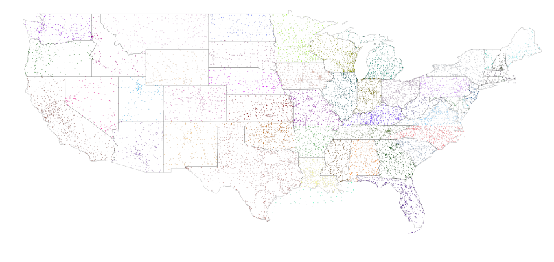
This project was completed as part of the MUSA 550 Geospatial Data Science In Python course at UPENN. Our team sought to understand the varied digital equity landscape at the international, federal, and state levels through geospatial data analysis. By leveraging a cell tower location database from OpenCellID, we analyzed digital equity through questions such as: What international metrics inform digital equity in developed vs. developing countries? Is there equitable access to ICT technology across the United States? How does the digital divide persist in rural vs. urban areas?
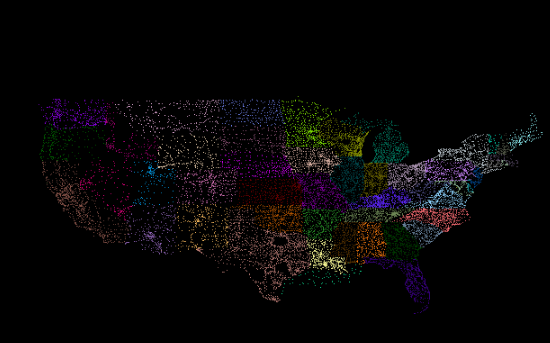
Our exploratory analysis included creating data visualizations that condensed over 200 million data points into actionable insights. These visualizations provided a global understanding of cell tower coverage and highlighted the disparities in digital access. The findings from this project contribute valuable insights to the ongoing conversation about bridging the digital divide and ensuring equitable access to technology on a global scale.
Click any image to read the full report, detailing our methodologies, findings, and the broader implications of our analysis